29.11.2019
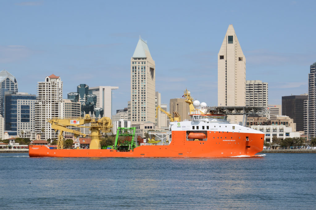
New adventures for Normand Frontier
In December 2018 it was announced that Normand Frontier would work for Ocean Infinity and conduct seabed mapping and survey service.
Mobilization of Normand Frontier started in Rotterdam late August for Ocean Infinity this year and are one out of three vessels to be used for the sedbed mapping and survey service. Each vessel are equipped with 5 AUV’s, 3 USV’s and 2 ROV’s developed by the client.
The vessels role is to facilitate and conduct best possible operation, and to do so it is staffed with a highly competent crew. A receiver is installed onboard to monitor the AUV and USV’s continuously while in the ocean and for the client to make sure the equipment work properly. By using the WROV’s onboard the crew can conduct inspections and repair operations when required while allowing the AUV’s to continue their flying mission. Recovery of items identified on the seabed from an AUV mission can be brought on to the surface using the vessels 250-ton main crane.
With multiple autonomous underwater vehicles (AUV) working simultaneously it is possible to survey huge swathes of the seabed quickly and with outstanding accuracy. They operate in shallow waters and excel in extreme depths of 6 000 meters while working in dynamic environments ranging from the tropics to the Arctic ice.

The unmanned surface vehicle (USV) will communicate with other USV’s while Normand Frontier conduct Marine Construction survey, metocean data collection, Passive Acoustic Monitoring (environmental), hydrocarbon detection/skimmer/dispersants, seismic support, site survey and surveillance/security.
We are very pleased to be working with Solstad Offshore, a leader in the provision of specialized offshore vessels and we are very excited to be continuing on our strong growth trajectory
Oliver Plunkett, Ocean Infinity’s CEO
Normand Frontier are now in Angola conducting seabed mapping for Total E&P Angola at Block 32 and 17. The depth ranges from 1 450 to to 1 700 meters in block 32 and from 400 to 800 meters in block 17.
Future areas of operation can not be disclosed, however, operations are planned to be conducted world-wide by all vessels to collect high resolution geographical data from the seabed.